3D Laser Scanning
Accurate, Detailed, Valuable
When every detail matters
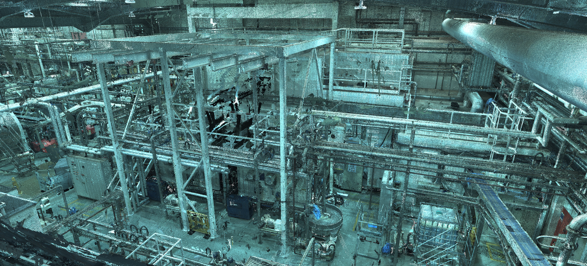
Our team have been utilising 3D laser scanning for over 15 years. We are able to provide you with a vast range of services, including 3D point cloud flythrough, 3D modelling, reverse engineering, topographical survey and contour maps.
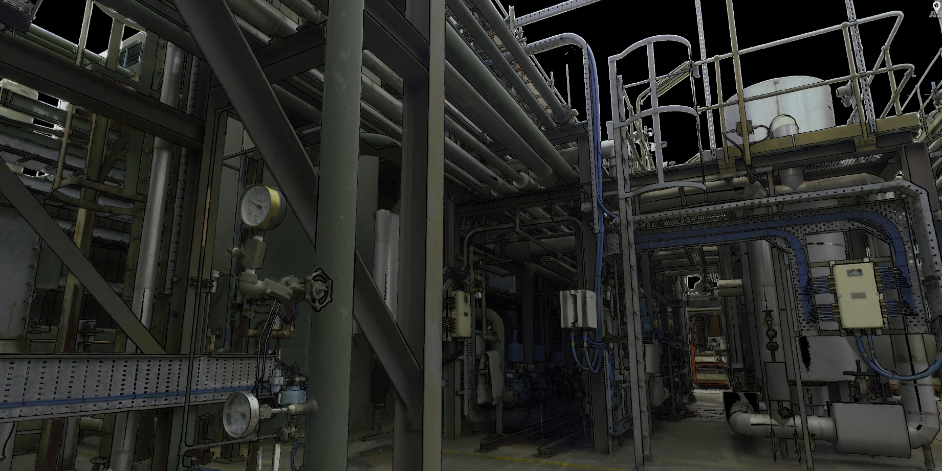


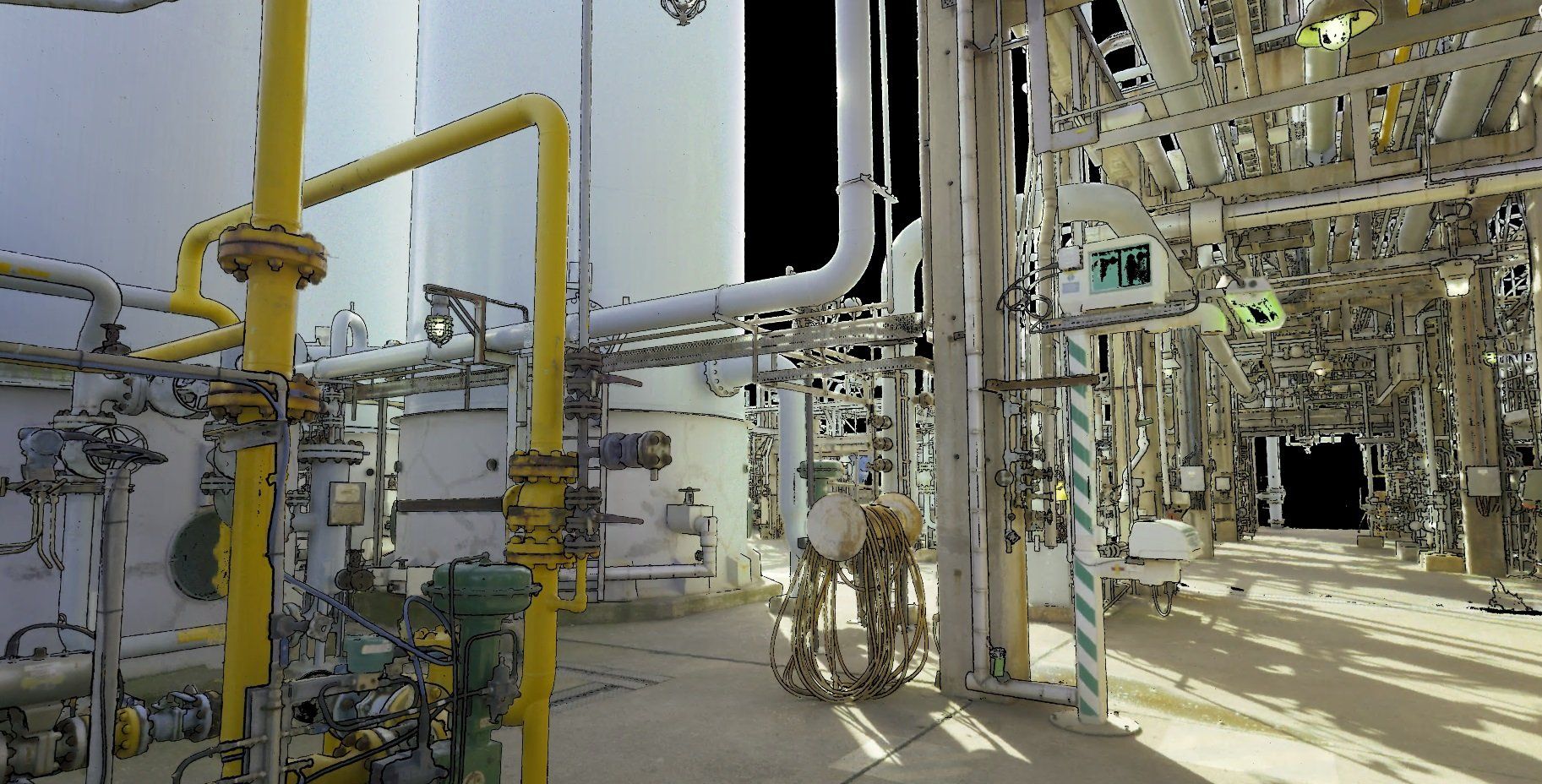
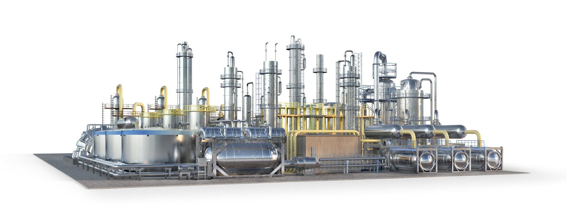
Using the latest world class laser scanning technology, we are able to digitalise existing site parameters to make retrofitting existing sites as easy as building from new. Utilising this technology allows us to survey millions of points, capturing vital and dimensional information required for project deliverables, often missed by traditional surveying techniques. It also allows us to reverse engineer existing sites to show as built information for detailed drawings to be produced for fabrication. The 3D laser scanning process promotes safety and is carried out with little or no site disruption.
What we do
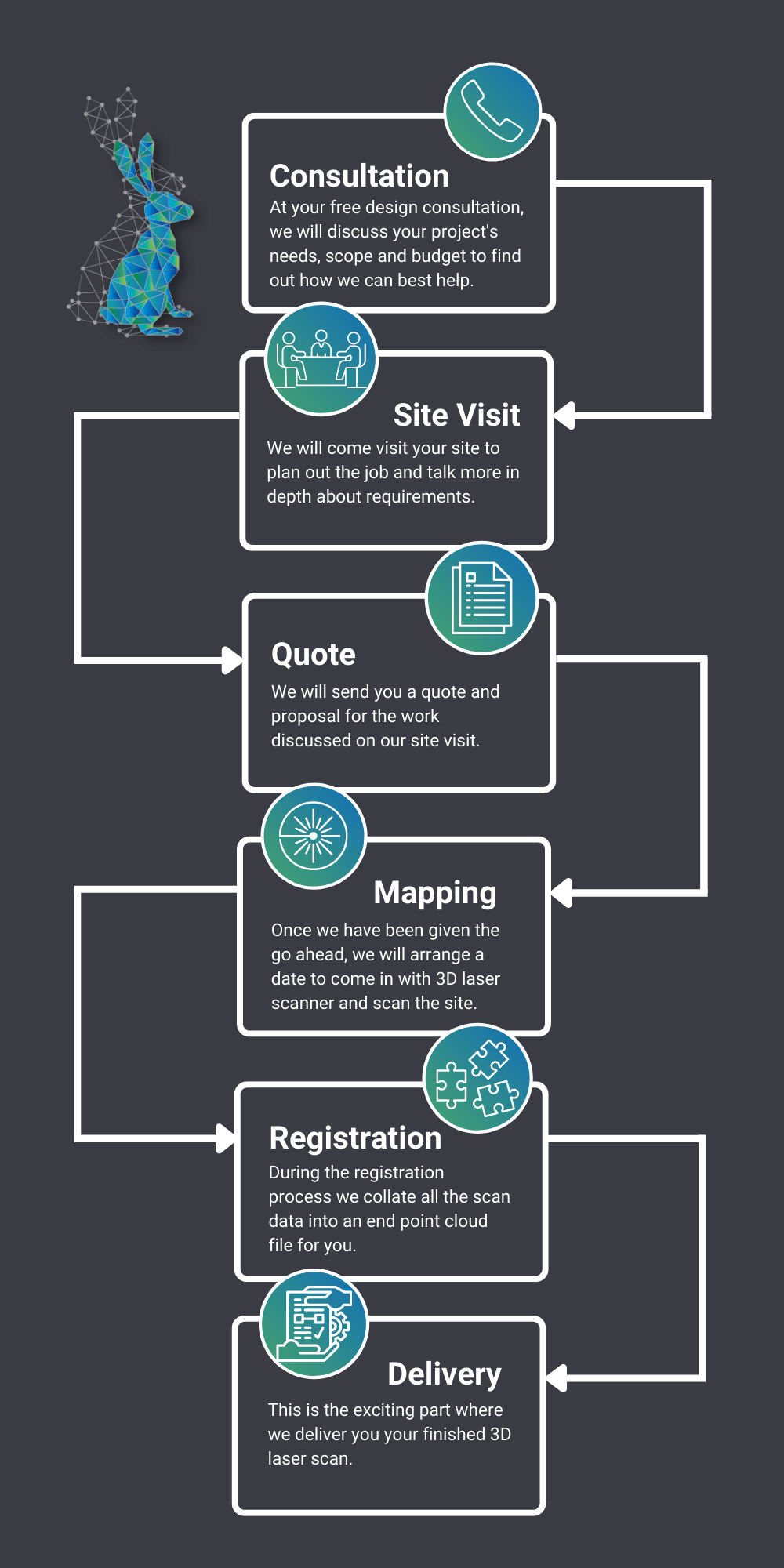
You are unique, which is why we customise each project to fit your needs exactly. Whether it’s a small strategy or a comprehensive effort though, there are 6 important steps we work through with every client to make sure your customised plan suits your needs.
Our 3D Laser Scanning services cover:
- A range of up to 1km
- Accuracy from 0.8mm
- Fast turnaround for when access time may be restricted
- The capture of vital site information and points of interest
- Checking data in real time, ensuring everything is captured in the field
- Taking accurate measurements form the captured model
- Validation of design/construction quickly and efficiently
- Reduction in site make-ups and re-work problems
WE’RE HERE TO HELP YOU
Want to learn more about or 3D laser scanning services?
Why not download our free 3D laser scanning brochure?
Book a free laser scanning demo
Does this shine a light on the benefits of laser scanning? Want to find out more? Get in touch and see how this technology can benefit you.
Contact Us
Related Services
We are a highly skilled design and project engineering consultancy, based in the North-West, with more than 20 years experience.